
Nepal Set To Send New Map To UN, United Nations Neither Use Nor Endorse It
Aug 02, 2020, 09:25 IST
The government of Nepal wants to send a new map showing the Indian territories as Nepal's to the United Nations, which the New York-based body will neither use it nor endorse it officially.
The UN prints its maps and every map comes with a disclaimer. The disclaimer on UN Maps states, "The borders & names displayed and the designations used on the map do not indicate official recognition or approval by the UN."
According to local media sources, the Government of KP Oli is making the requisite arrangements to publish the map in English and is going to send it to the international community.
Minister of Foreign Affairs (MEA) spokesperson Anurag Srivastava said that map is not based on historical facts and proofs. He further added that,"It is contrary to a unilateral agreement to address pending boundary issues through diplomatic dialogue. Such an unnecessary enlargement of territorial claims would not be supported by India."
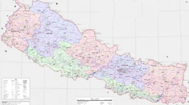
The new map of Nepal shows Limpiadhura, Lipulekh and Kalapani Indian territories as their own. India has reacted strongly to this development by calling it a "unilateral act," which is a "unjustified cartographic assertion."
The previous maps submitted by Nepal have never included Limpiyadhura, Lipulekh and Kalapani. In some way, while Nepal is sending a revised map, it will unintentionally convey that it has indulged in cartographic claims. The constitutional amendment to give legal protection to the coat of arms displaying the current map was passed earlier this year by the Parliament of Nepal.


Related news
More from section
Advertisement