
Typhoon Mawar to bring violent winds, torrential rain to Japan's Okinawa
May 29, 2023, 15:35 IST
Tokyo, May 29 (IANS) The Japan Meteorological Agency (JMA) on Monday warned that the powerful typhoon Mawar is forecast to approach the southernmost prefecture of Okinawa around Wednesday, bringing with it violent winds and torrential rain.
The JMA said Mawar is set to approach the southwestern part of Okinawa if it continues along its current trajectory which was in a northward direction from the east of the Philippines, at a speed of around 10 km per hour, reports Xinhua news agency.
The typhoon's wind speeds have picked up from 162 kph near its centre as clocked on Sunday evening, to current speeds of up to 216 kph, with an atmospheric pressure of 950 hectopascals at its centre.
From Wednesday, weather officials said the the powerful typhoon, with a storm zone spanning a 220-km radius northeast of the centre and a 150-km radius southwest of the centre, is expected to approach the Sakishima Islands off the main island of Okinawa.
The JMA has warned that the slow moving nature of the typhoon means that the violent conditions it may bring could last for a protracted period of time, while its high-pressure system could destabilize atmospheric conditions across wide swathes of Japan.
On Monday, wave surges could reach five metres on the main island of Okinawa, the meteorological agency said, and as high as seven meters near the Sakishima Islands.
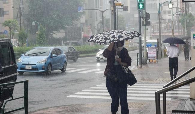
Heavy rain is expected to inundate both eastern and western Japan in the days ahead, as the front will stay for a long period of time, the JMA said.
The agency has warned people to remain vigilant for landslides and flooding for those living in low-lying areas.
It also said rising river levels could lead to their banks being breached, while lightning strikes were also possible.
Disclaimer: This story has not been edited by the Sakshi Post team and is auto-generated from syndicated feed.


More from section
Advertisement